Community Planning Projects
Lawrenceville Together, as their past entities Lawrenceville Corporation and Lawrenceville United, as well as many community members have participated in the creation of numerous community plans. Each plan has been informed by robust and inclusive community engagement processes, community partners and stakeholders, and studies of existing conditions and best practices.
Community plans are visions of Lawrenceville’s future. These visions can define our strengths and values, pinpoint places the community would like to see change and grow, and steer development toward a desired future.
Current Projects

Arsenal Park Master Plan
Phase I construction is complete, Phases II & III will be planned soon!

Leslie Park Master Plan
Improvements to Leslie Park are being planned now

Allegheny River Green Boulevard
A vision that reimagined riverfront access, land use, transportation, and open space along the south shore of the Allegheny River. The plan has been used to guide riverfront development since it was first conceived in 2010. In Summer 2023, the city constructed the first leg of the recommended shared use bike-pedestrian commuter path.

Clack Campus Redevelopment
Created in partnership with Lawrenceville United in 2021, the Clack Campus Development Guidelines are a vision for the future redevelopment of Allegheny County’s Frank B. Clack Health Center at 4401 Penn Avenue.
Past Projects
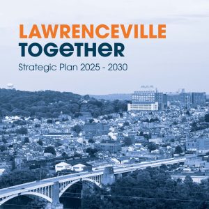
Lawrenceville Together Strategic Plan (2025)
The 5-year joint strategic plan from Lawrenceville United & Lawrenceville Corporation that created the blueprint for our merged organization

Butler Street Design Guidelines (2019)
An explicit set of conditions-based block-by block standards for streetscape components to ensure that future development projects foster a safe, accessible, and beautiful Butler Street for all, regardless of the mode of transportation. Encompass the length of Butler Street and make recommendations for the design, materials, fabrication, installation, and maintenance for the following streetscape elements: ADA accessible walkways, sidewalks, street trees, public art, street lighting, stormwater management, street furniture, way-finding signage, cycling and public transportation amenities, and other elements as appropriate.
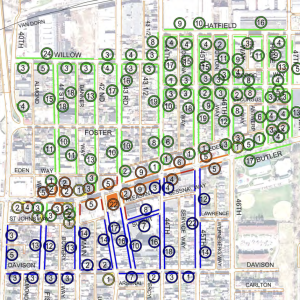
Updated Parking Study (2015)
An update to the 2012 parking study, this study sought to understand the current parking conditions in Lawrenceville and identify potential parking opportunities and improvements. Found that bike parking and on-street car parking along Butler had both increased since 2012. However, this supply growth was outpaced by a growth in parking demand, which was especially high from 37th to 45th Street. Recommended encouraging other modes of transportation, facilitating shared parking agreements, and creating additional opportunities for off-street parking.
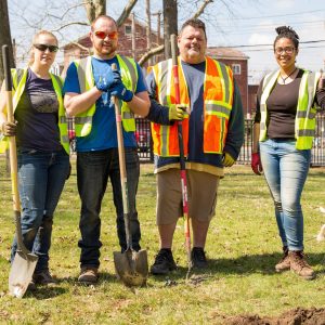
ReLeaf Lawrenceville (2014)
With a tree canopy cover of nearly half of the city-wide average, this plan was developed to increase and improve Lawrenceville’s tree canopy cover. It recommends programs targeted at homeowners, industrial property owners, commercial property owners, cemeteries, and community spaces.
Upper Lawrenceville Plan (2013)
Identified three strengths to build upon- Affordability and authenticity (live), space for people to make and grow things (work), and abundant recreational amenities, from neighborhood parks to the riverfront (play). McCandless Street is identified as the spine of Upper Lawrenceville, as a major conduit to the riverfront and the planned “McCandless Beach,” a connector in a network of planned green streets, and the center of business district activity at its Butler Street intersection. The plan also recommends reinvigorating existing parks with new physical or programmatic connections.
Lower Lawrenceville Plan (2009)
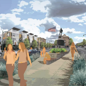
The result of an eight-month planning process building upon the Lawrenceville Community Plan and the Penn Avenue Corridor Master Plan. Focused on Butler Street, Doughboy Square, and the Riverfront and recommended increased density and infill development; streetscape improvements; greening with street trees, neighborhood parks, and riverfront connections; public art and marketing; improved connectivity; and integrated parking and mobility planning.
Penn Avenue Corridor Master Plan (2008)
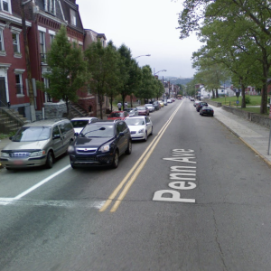
An urban design plan and commercial/residential market analysis for the Penn Avenue Corridor from 34th Street to Euclid Avenue. Recommendations included establishing gateways at Doughboy Square, 40th + Penn, and Main + Penn; creating an integrated mobility plan and implementing streetscape improvements; establishing higher density office or residential redevelopment between 39th and Fisk Streets; and the expansion of Arsenal Park.